The NGI and KU Leuven welcome the EuroSDR Board of Delegates in Leuven
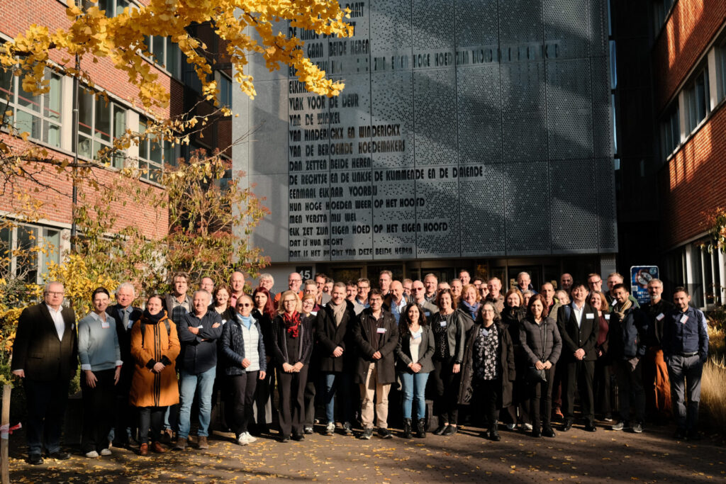
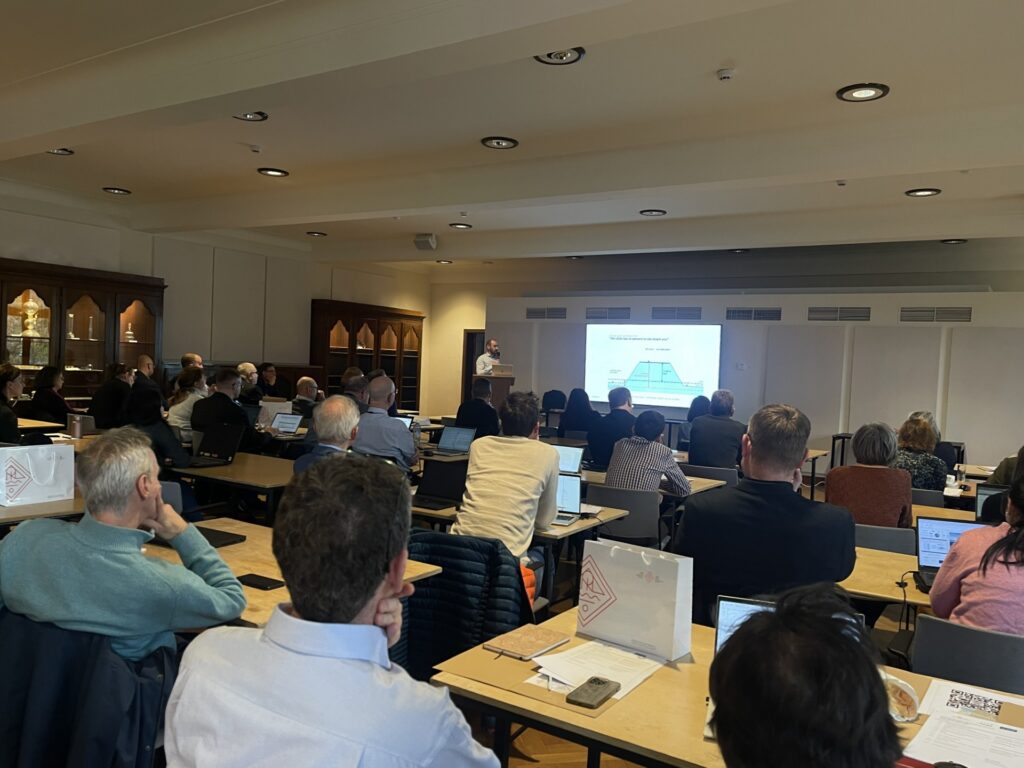
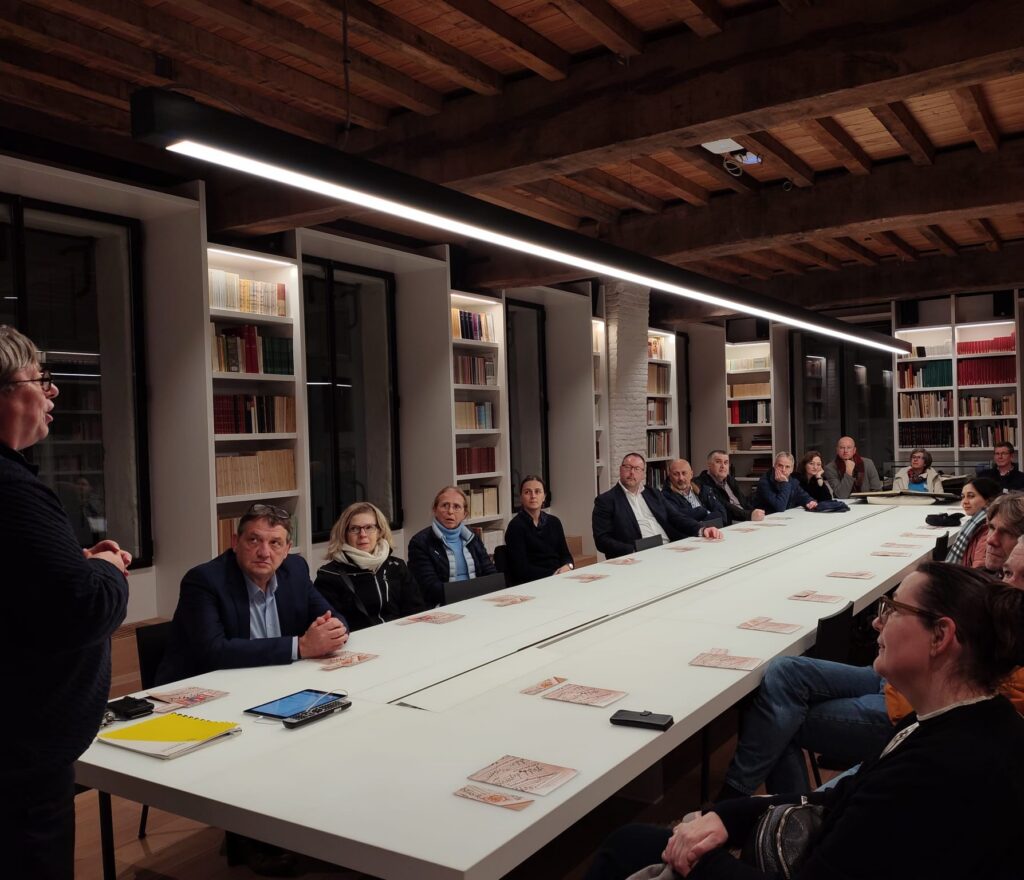
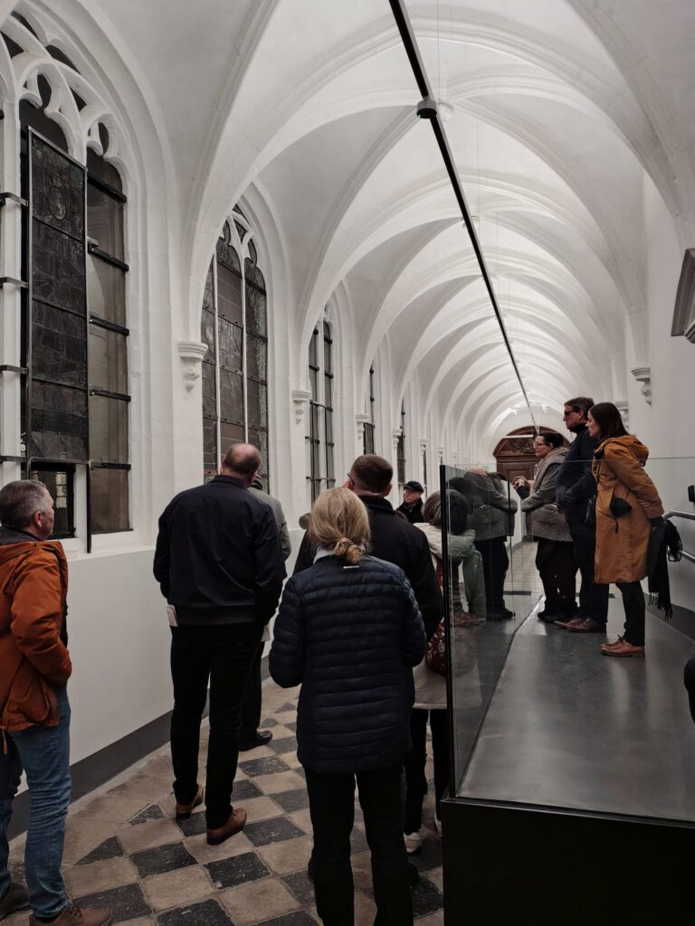
In close collaboration with KU Leuven, the NGI organised the EuroSDR Board of Delegates meeting in Leuven from 4 to 6 November 2026. As the host country, Belgium welcomed experts from across Europe to discuss the future of geodata, open data and digital innovation.
The Board of Delegates brings together cartographic and cadastral authorities, research institutions and private partners from various countries. Over the course of three days, the delegations in attendance exchanged experiences and discussed (international) collaborations and new technological developments.
A varied programme
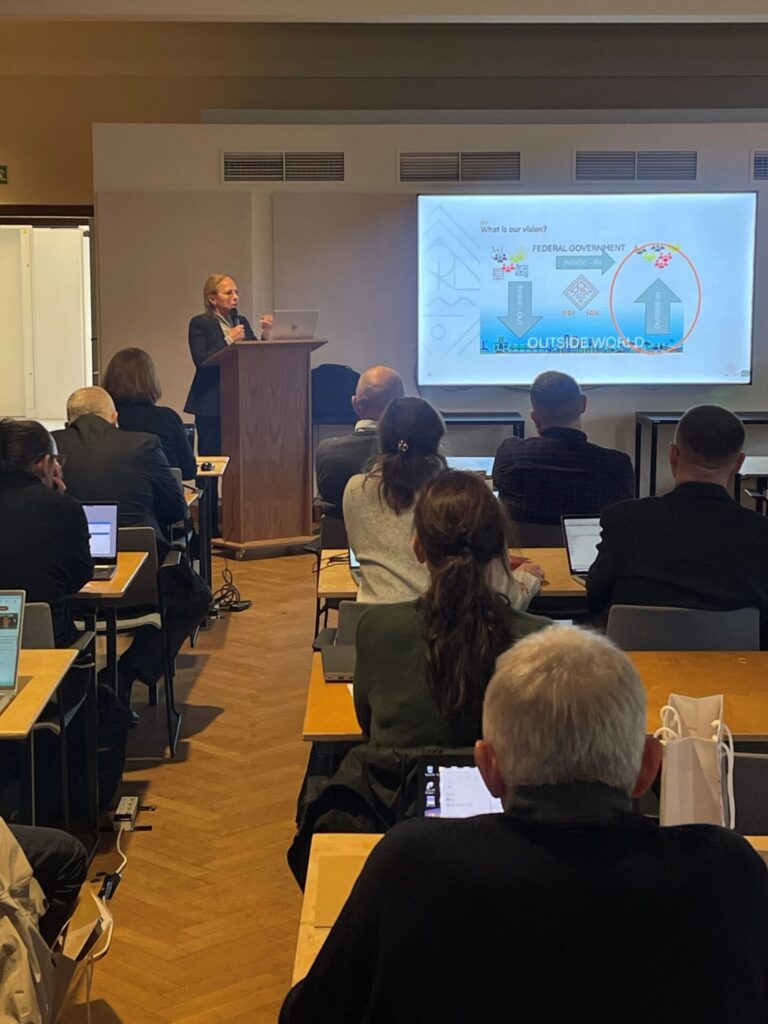
In keeping with tradition, the first day’s programme was devoted to developments within the host country. During the Belgian ‘country day’, participants were introduced to a range of initiatives from our country. Presentations on topics such as the federal geobroker role and the services provided by the NGI, the evolving remit of the NGI’s Geodesy Department, GeoBIM, the City of Leuven’s geo-initiatives, the FLOWS project and innovative applications at VITO illustrated the dynamism of the sector.
Over the following days, the programme delved deeper into the subject matter, including reports on the activities of the five different commissions (Data Acquisition, Modelling, Integration and Processing, Information Usage and Visualization, Business Models and Operation, and Knowledge Transfer) and discussions on ‘digital twins’, digital sovereignty and other strategic themes. The programme concluded on Friday 6 November with a summary of the decisions taken.
The role of EuroSDR
European Spatial Data Research (EuroSDR) is a sector organisation that brings together national cartographic and cadastral agencies with research institutions, universities and businesses across Europe. The organisation does this with a view to conducting applied research in the field of the acquisition, management and delivery of spatial data.
Through research projects and knowledge exchange, EuroSDR helps its members to evaluate and implement new technologies more quickly and to continue to provide reference data in the best possible way. The organisation acts as a bridge between research and operational practice.
Intensive consultation in a changing context
The meeting took place against the backdrop of a changing European context, characterised by the repercussions of open data legislation and the growing demand for high-quality, reliable geodata for a wide range of applications.
European legislation on open data (in particular Directive (EU) 2019/1024 and Implementing Regulation 2023/138) is aimed at promoting transparency and innovation. The regulations are putting pressure on traditional business models based on the sale of data, forcing organisations to adapt to the new reality. In this context, the agencies have every interest in consulting more closely with one another.
The greatest challenge is to keep high-quality geodata and expertise accessible to society, comply with current technical standards, and at the same time manage a funding model that does not automatically compensate for data sharing. Sustainable new models must ensure that organisations can continue their activities and develop the capacity to meet new challenges. The focus of revenue models is shifting from data to services, partnerships and the creation of added value.
Geobroker: a hub for information
The NGI is responding to these challenges by strengthening its role as a federal geobroker. In collaboration with public authorities and international partners, it acts as a central access point for reliable geographical information in Belgium. To be able to continue doing so, it actively participates in the international exchange of geospatial information and contributes globally to the harmonisation, standardisation and application of geographical data. Its active participation in EuroSDR is therefore an integral part of this mission.
The meeting in Leuven once again highlighted the importance of international cooperation in tackling these challenges. For the NGI, EuroSDR therefore remains a key platform for exchanging expertise, stimulating innovation and helping to shape the future of geospatial information in Europe.