Programme
Veuillez noter que le programme tient compte de la langue (FR/NL/EN) dans laquelle les sessions sont présentées.
Comment rendre la géo attrayante pour le monde de l’IT ? Le temps presse (NL/FR)
Bart De Lathouwer - Geonovum – Centre de connaissance GéoLe temps presse : comment pouvons-nous susciter l’intérêt pour la géo dans le monde de l’informatique ? Les confinements stricts auraient sans doute été moins durs si la géo avait été plus facile à utiliser pour les développeurs et donc aussi pour les décideurs. Le monde de la géo a énormément d’expérience dans les big data, les normes, mais le monde de l’informatique risque de réinventer la géo si nous ne changeons pas de cap. Bart expliquera que la géotechnologie de demain existe déjà et montrera combien elle est facile à utiliser par les développeurs. Comment allons-nous relever ce défi ?
Le SPF Finances et l’Administration générale de la Documentation patrimoniale comme source authentique de données patrimoniales en Belgique (FR/NL)
Jeremy Lams - SPF Finances – Administration générale de la Documentation patrimonialeAu sein du SPF Finances, l’Administration générale de la Documentation patrimoniale collecte un grand nombre de données patrimoniales à l’échelle de la Belgique. En tant que source authentique reconnue, nous sommes également responsable de leur publication auprès de nos partenaires et clients. Nous vous invitons à découvrir ces données et à échanger sur vos besoins en la matière.
Open Maps for Europe 2 (OME2) - Gezaghebbende, hoogwaardige, pan-Europese, gratis data met randcorrectie, onder een Single Open License, op schaal 1:10 000 en kleiner (NL)
Anneleen Sergeant - Institut géographique national (IGN)Het NGI is partner van het Open Maps For Europe 2 (OME2) project, waarin een nieuw productieproces en nieuwe technische specificaties ontwikkeld worden om een geharmoniseerde, edge-matched grootschalige pan-Europese datasets te produceren. Een van de voornaamste doelstellingen is om een prototype van deze High Value grootschalige pan-Europese data van 10 landen beschikbaar te maken via één centraal portaal onder één eenvoudig te gebruiken open data licentie, waardoor gebruikers tijd, moeite en middelen besparen. Ze vormen ook een aanvulling op de al bestaande kleinschaligere Open Maps for Europe, dewelke in het project ook verbeterd en uitgebreid worden.
De ontwikkelde OME2-technieken zijn bedoeld om nationaal te hergebruiken en om goede praktijken te delen. Hiermee wordt ook een grensoverschrijdend fundament gelegd voor de Europese Dataspaces.
Het project wordt medegefinancierd door de Europese Unie.
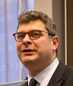
Bart De Lathouwer
Ancien président de l'Open Geospatial Consortium (OGC) et Geo Thought leader - Geonovum
Présentation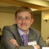
Jeremy Lams
Responsable de la stratégie clients - SPF Finances – Administration générale de la Documentation patrimoniale
Présentation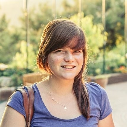
Veuillez noter que le programme tient compte de la langue (FR/NL/EN) dans laquelle les sessions sont présentées.
Hoe de droom van velen al een realiteit is in de Port of Antwerp-Bruges (NL)
Danny Van Dessel - Port of Antwerp-BrugesU wordt meegenomen in de indrukwekkende innovatie die voor meer veiligheid en effectiviteit zorgt in de drukke en uitgestrekte havens. Een prachtig bewijs dat de beste ideeën en innovaties niet ontstaan door data en kennis te isoleren, maar door kennis en data uit te wisselen. Over hoe de initiële, futuristische ambities werden omgezet in een schaalbare oplossing die voor vele sectorgenoten nog een droombestemming is. Over hoe alle obstakels overwonnen werden, dromen werden aangescherpt én gerealiseerd.
Een bewijs dat de complexiteit van het speelveld rond (geo)data op te lossen is door samenwerking én door te doen, en het enorme belang ervan voor de samenleving.
How Earth Observation underpins the sustainability balance (EN)
Steven Krekels - VITOThe Earth’s natural resources are vital to the survival and development of the human population. Financial & economic stability is impossible without our natural environment and requires continuous measuring and feedback. While digital transformation of society is unfolding at a pace that outruns the development of experience-based policy, it raises socio-economic risk, we need to speed up the shift to data-driven decision making. Ongoing progress in Earth Observation, data fusion & analysis enables new possibilities on how we can assess, plan & monitor our socio-economic fabric and balance those with our natural resources. Globally there emerges a system of interconnected and distributed platforms that share data via machine-to-machine interfaces. The future of the digital age will be a collaborative ecosystem of distributed platforms in which multiple players participate. Because – together – we must innovate in the evolving world of Earth Observation to build a better world for tomorrow.
Current state of play of the national spatial data infrastructure of Belgium – Application of the Integrated Geospatial Information Framework of the United Nations (EN)
Joep Crompvoets - Public Governance Institute, KULeuvenThe status of the National Spatial Data Infrastructure of Belgium is presented. The status presentation is the key outcome of several workshops organized in 2023 and 2024 with key stakeholders of public sector, private sector and academia as participants. The Integrated Geospatial Information Framework (IGIF) of the United Nations was applied and the baseline assessment tool developed by the Worldbank was used to assess the current status. The analysis was done by the KU Leuven in collaboration with the NGI.
Based on the status results, key challenges are identified as well as key recommendations for the further development are suggested.
Harnessing the power of space to develop commercial business applications (EN)
Annekatrien Debien - ESA Business ApplicationsThe ESA Business Applications Programme is an equity-free funding opportunity for Belgian Businesses. The programme aims at providing co-funding to companies that implement space-enabled solutions into their services/products. The presentation contains a short explanation of the programme and its opportunities, after which a set of real-world examples space-enabled solutions that can benefit the Belgian entrepreneurial ecosystem. Benefits brought by satellite communication, positioning capabilities, etc. are becoming increasingly apparent and we want to ensure the Belgian ecosystem is part of the transformation wave. The remainder of the presentation centers around accessing the opportunity and a Q&A session.
Géolocalisation en Belgique: Transformer les adresses et les mots de recherche en coordonnées (et vice versa) avec le nouveau géocodeur national (FR)
Jérôme Servais - Institut géographique national (IGN) , Vandy Berten - SmalsL’Institut Géographique National (IGN), en partenariat avec la Smals, dévoilera les derniers avancements du nouvel outil de géocodage national alimenté par les données authentiques d’adresses (BestAdress) en Belgique.
Ce géocodeur novateur est conçu pour enrichir considérablement les résultats de recherche en intégrant plusieurs sources de données de l’IGN, couvrant les Points d’Intérêt (POI), la toponymie, les limites administratives et d’autres sources externes telles que le plan parcellaire cadastral. En exploitant ce service, les utilisateurs auront la capacité non seulement de localiser des lieux en utilisant les formats d’adresse traditionnels, mais aussi en employant des « mots-clés » intuitifs. Accessible gratuitement via une API, ce géocodeur promet d’optimiser de manière significative les capacités de géolocalisation en Belgique. Les développements futurs seront axés sur l’expansion des capacités de multisourcing et la mise en place de solutions « On-Premise », garantissant ainsi une évolution et une adaptabilité continues.
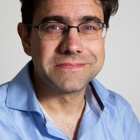
Joep Crompvoets
Full professor Information management in the public sector - Public Governance Institute, KULeuven
Présentation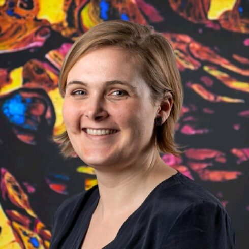
Jérôme Servais
Project Manager, Spatial Data Infrastructure - Institut géographique national (IGN)
Présentation