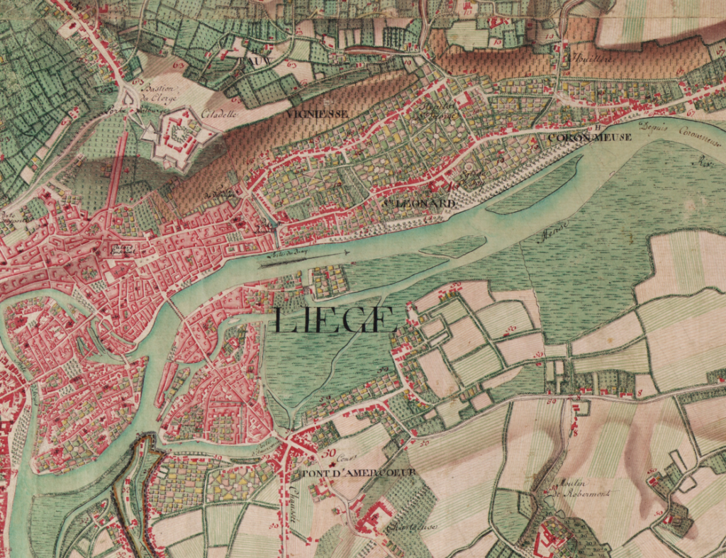
This atlas, comprising 275 hand-illustrated and coloured maps from Ferraris in 1777, immerses you in the historical landscape of the Austrian Netherlands and the Principality of Liege.
The Ferraris Map, realised under the direction of Count Joseph Jean François de Ferraris, is a map of the Austrian Netherlands and the Principality of Liege in 1777. This area largely corresponds to present-day Belgium, making the Ferraris map the first large-scale map of Belgium.
De Ferraris made two maps. The first was called the Carte de cabinet or Cabinet Map and was used exclusively by the cabinet and its ministers and generals. It was an extremely detailed and hand-drawn map on a scale of 1:11 520. The second map was the Carte marchande or Carte chorographique, which was less detailed and printed on a scale of 1:86 400. This particular map was intended for the general public and was created with the objective of recovering some of the costs of the mapping operation.
Three copies of the Cabinet Map were made: one for the emperor, one for the court chancellery in Vienna and one for Charles of Lorraine. The latter was returned to Belgium in 1922 as part of the post-war negotiations. Today, it resides in the Royal Library of Belgium. It served as the basis for the maps in this atlas.
